Description
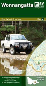
Outdoor Recreation Guide Map> Coverage includes Mount Buller, Mount Stirling, Mount Howitt, Wonnangatta Station, lake Cobbler, Pineapple Flat, Bryce's Plain, The Bluff, Mitchells Homestead Site, Upper Jamieson Hut, Craig's Hut, Sheepyard Flat, Howqua Hills, Mount Timbertop etc.> Information includes: tourist information, overnight hiking, walking tracks, car and 4WD touring, camping areas, notes on flora and fauna, walking track cross-sections showing slope and difficulty, huts, national park and state forest boundaries etc.> Scale: 1:50,000> 2nd Edition> Published 2013

