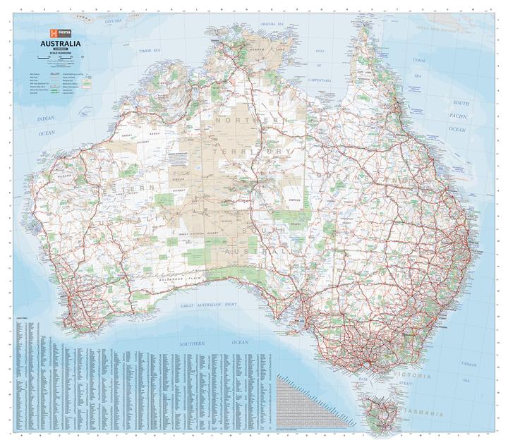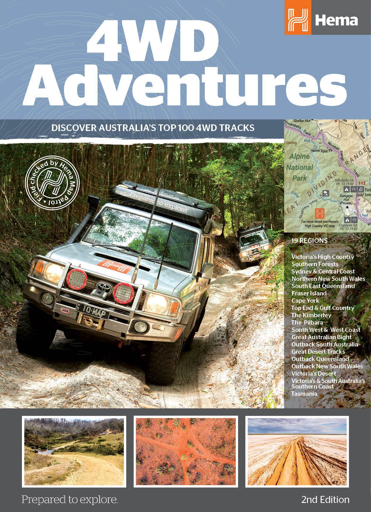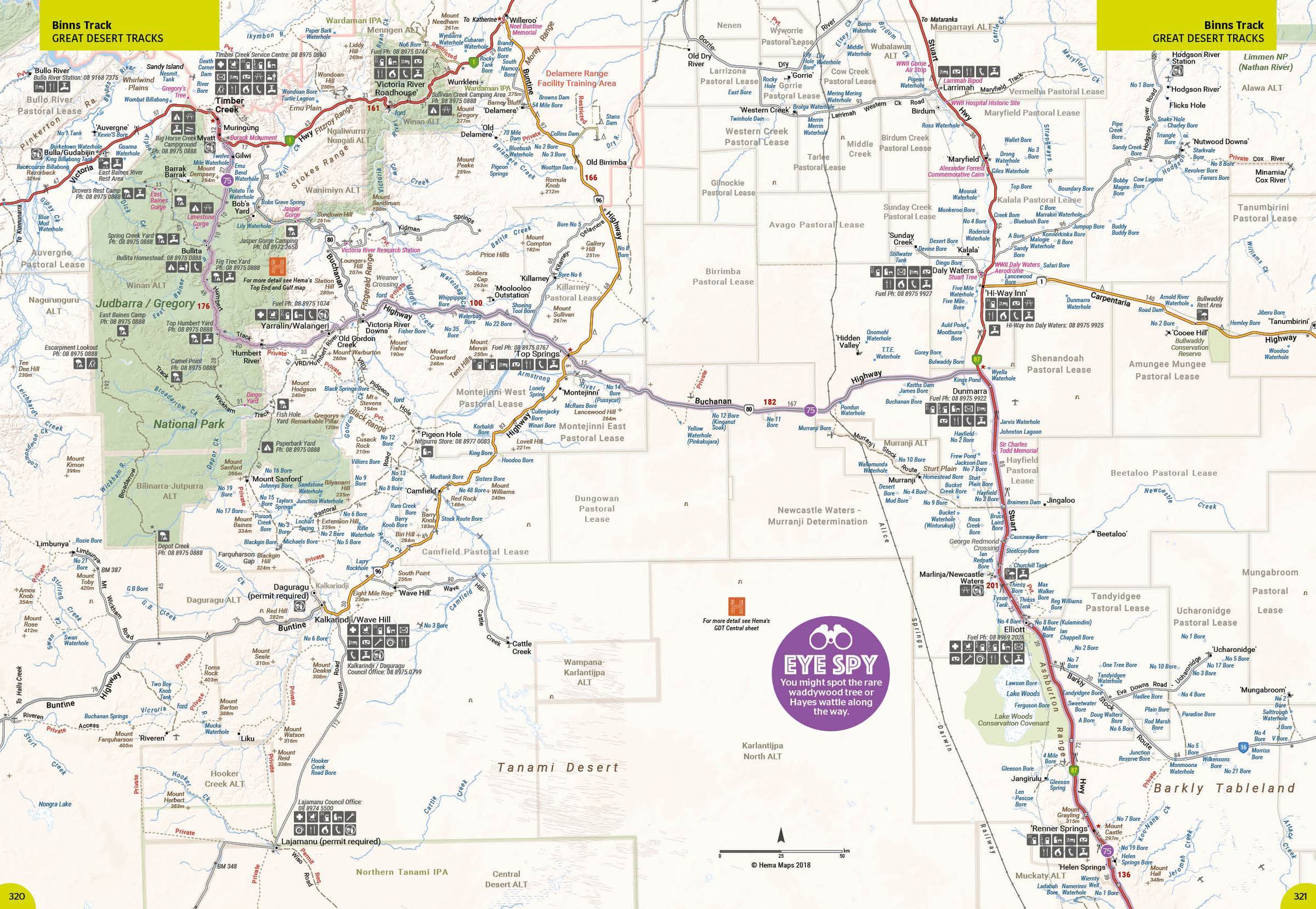
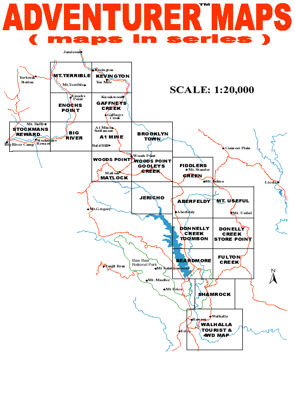
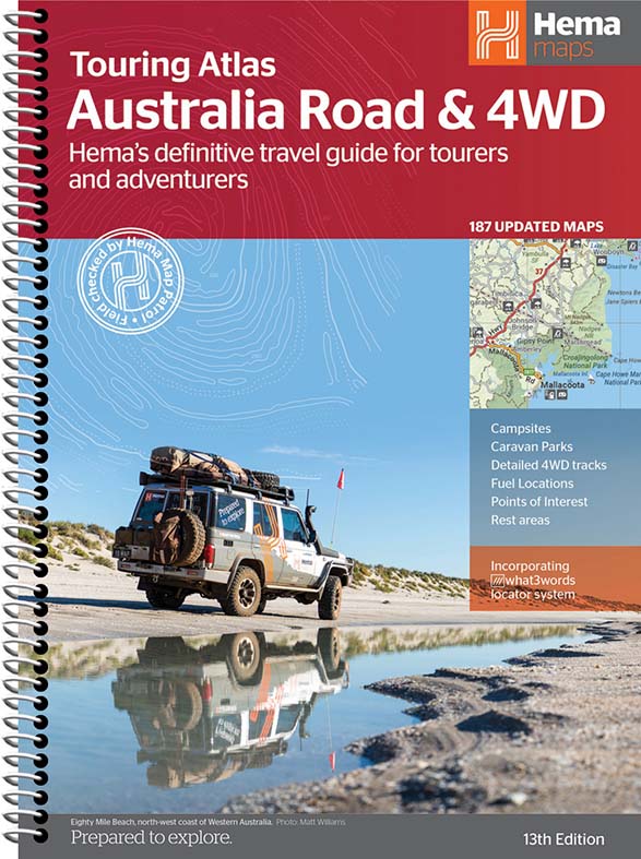
Navigate Australia's remote tracks with confidence. We stock a full range of Hema 4WD atlases, touring maps and regional adventure maps covering every state and territory. Whether you're planning a trip through the Kimberley, the Simpson Desert or the Victorian High Country, our map range has you covered.


Save $3.00
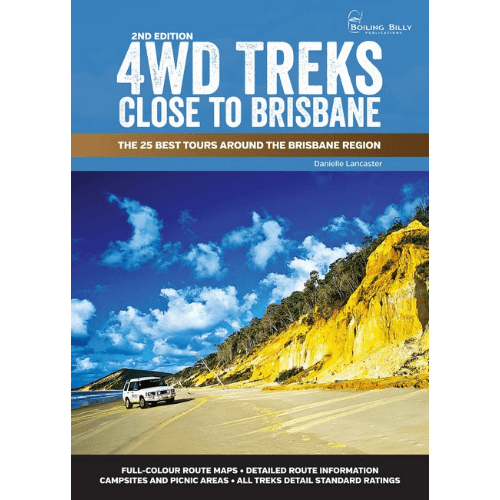
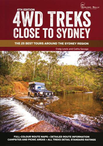
Boiling Billy Publications
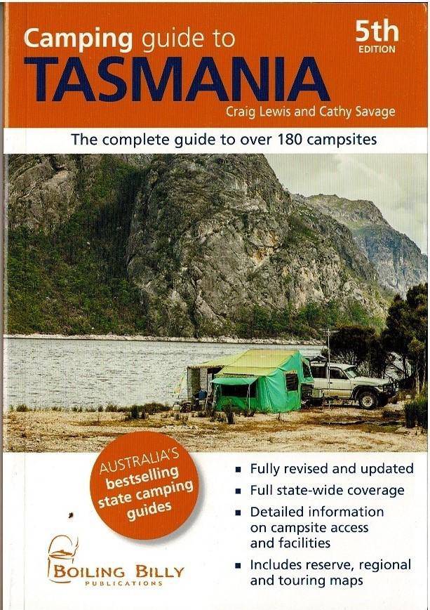
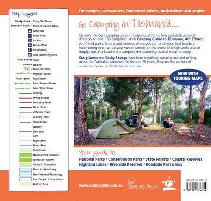
Camping Guide to Tasmania by Craig Lewis / Cathy Savage (Boiling Billy)
Sale price$31.95
Regular price$34.95
Save $5.00
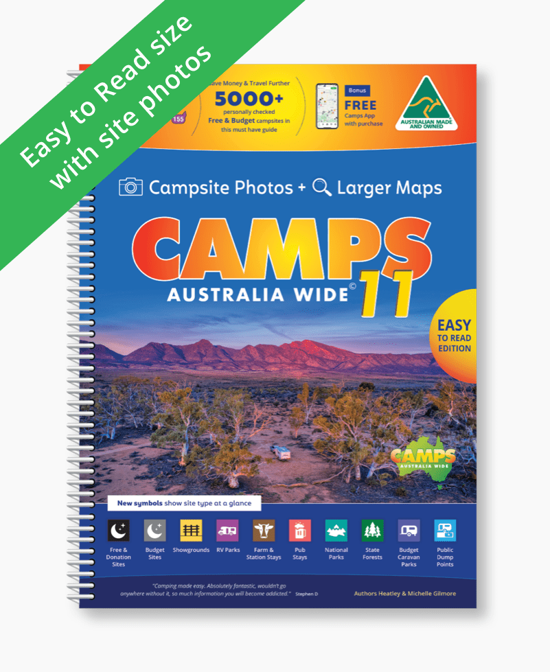
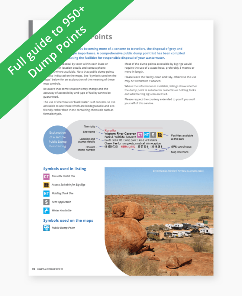
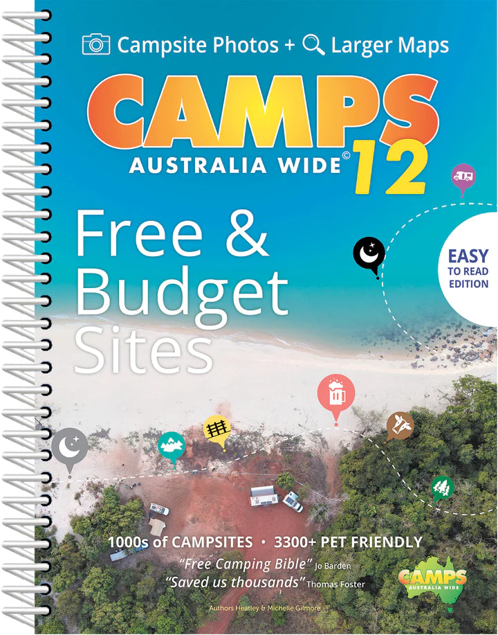
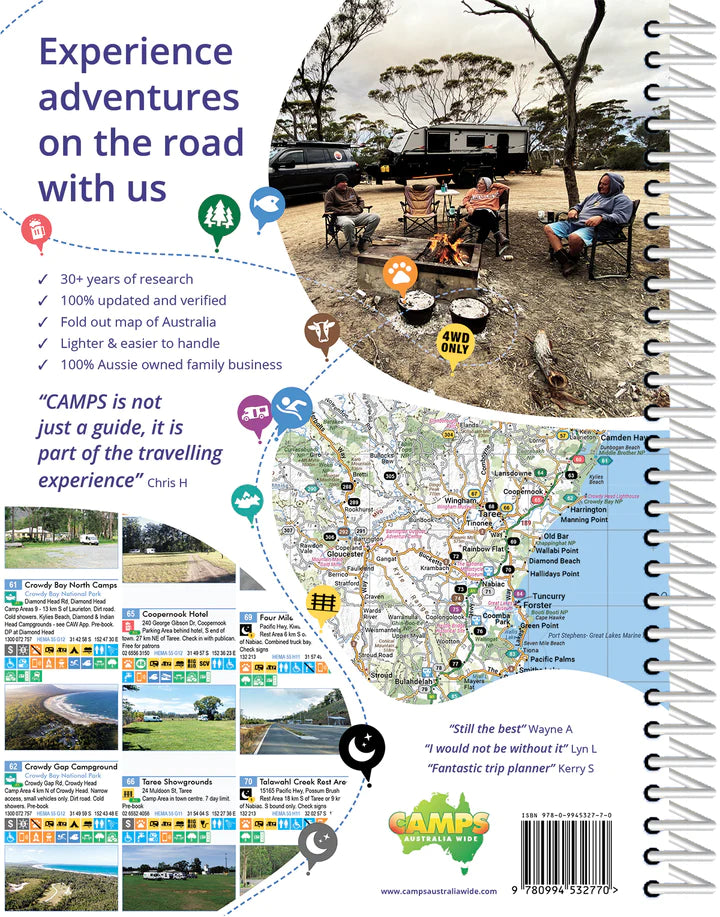
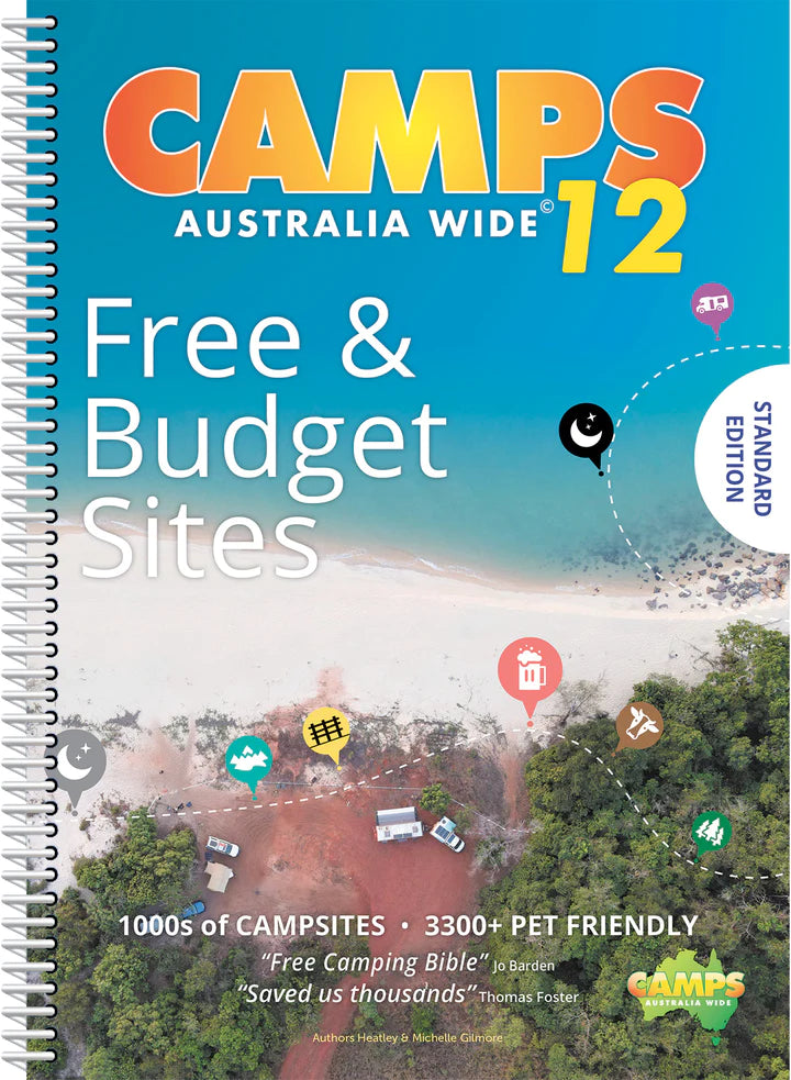
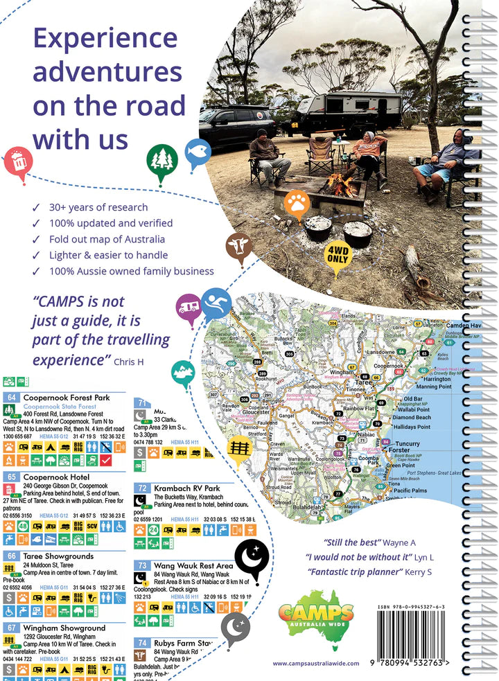
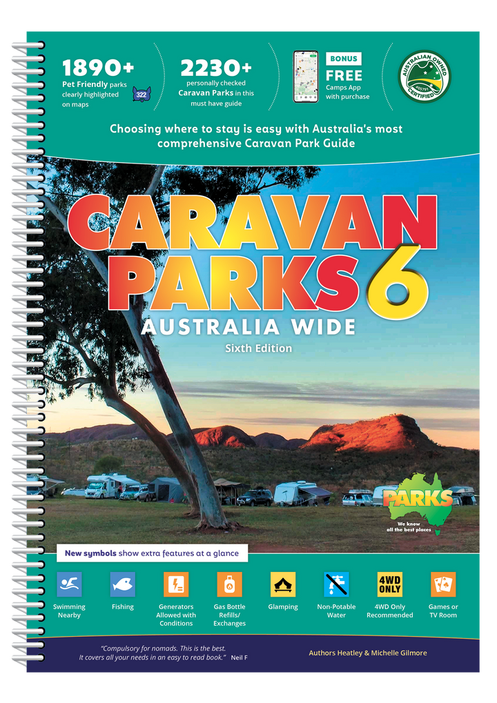
Camps Australia Wide
Camps 11 Easy to Read (B4 size with photos)
Sale price$94.95
Regular price$99.95