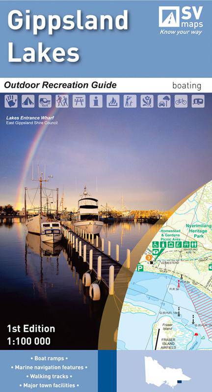

Description
Outdoor Recreation Guide Map
Coverage includes Lakes Entrance, Lake Tyers, Loch Sport, Lake Wellington, Tambo Mitchell andamp; Nicholson Rivers, lake King, Ocean Grange, Lake Victoria, Lakes National Park, Paynesville, Metung, Bairnsdale, Sale, etc.
Inset enlargements cover Lakes Entrance, Metung to lakes Entrance, Bunga Arm campsites, Metung, Nicholson Mitchell andamp; Tambo Rivers, McLennan Strait, Paynesville andamp; Aurora Channel, Loch Sport andamp; Rotamah Island.
Features and symbols include Roads, Tracks, Walking Tracks, Camping areas, Notes on boat navigation and walking, buoys and markers, depths, navigation lights, facilities, land tenure, waterways etc.
Scale: 1:100,000 (main map) and enlargements at 1:10,000; 1:12500; 1:20,000; 1:25,000.
1st Edition
Published 2009