Description
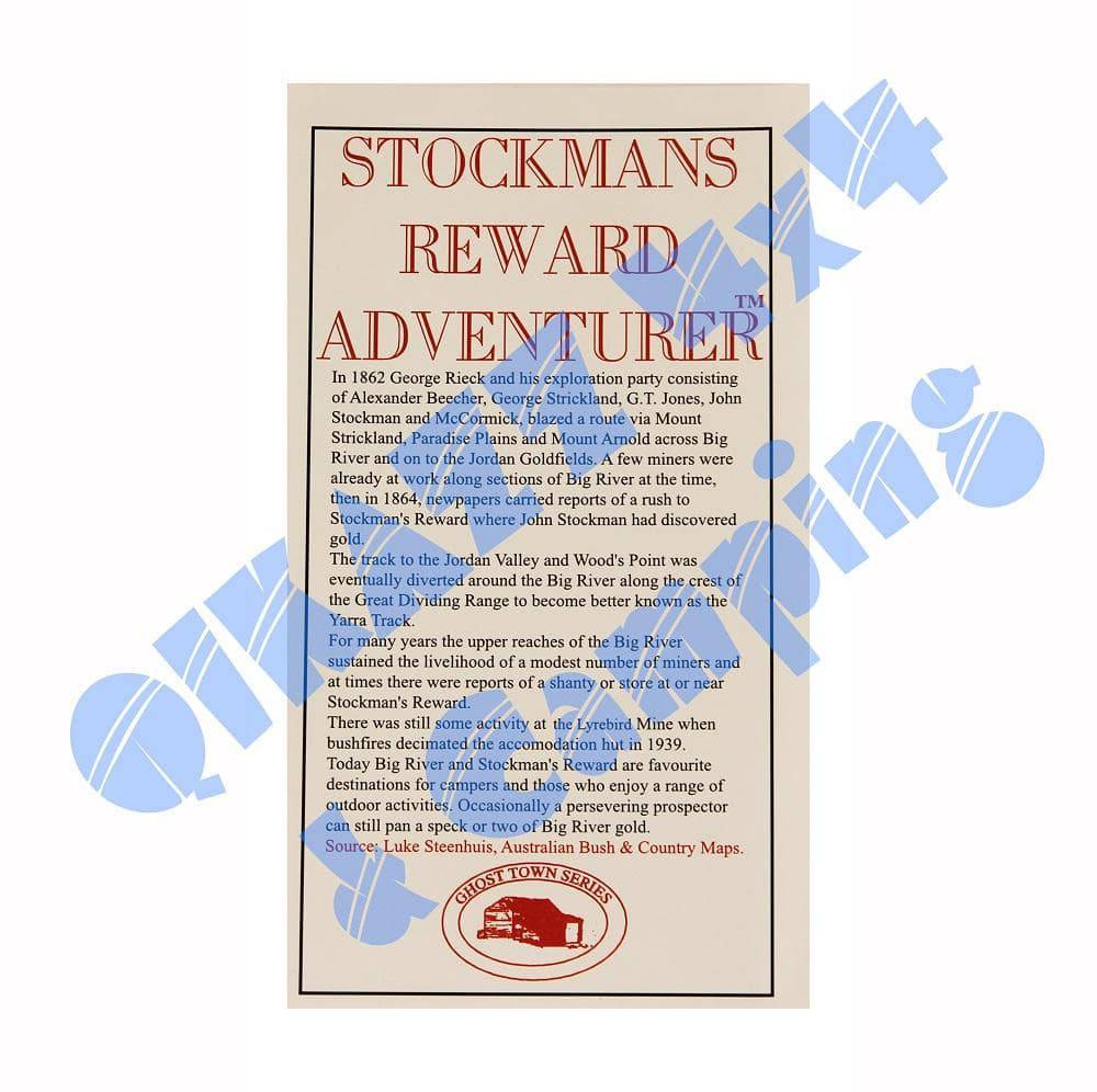
Stockmans Reward Adventurer Map
!!! FREE POSTAGE !!!
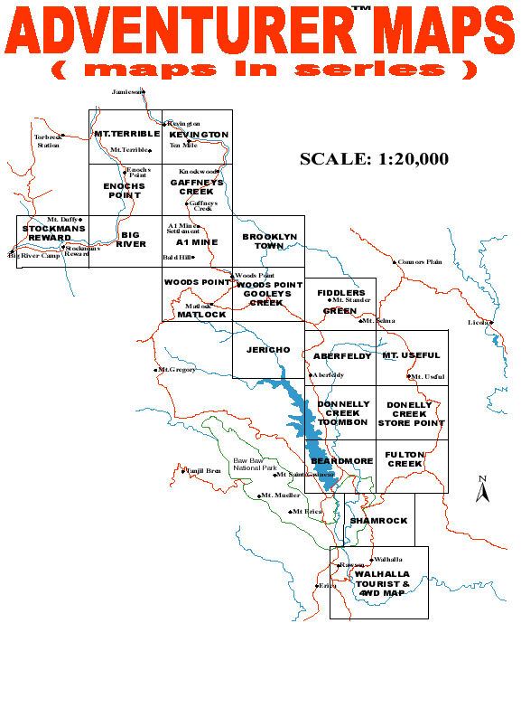
1: 20,000 scale maps in a series covering Walhalla to Jamieson in Victoria's High Country. 19 maps in complete set.
| Walhalla (out of print) | "see new map here" | Woods Point / Matlock | May 1997 |
| Shamrock | September 1996 | A1 Mine | May 1998 |
| Fulton Creek | October 1995 | Gaffneys Creek | May 1998 |
| Beardmore | March 1996 | Jericho | December 1995 |
| Donnellys Creek/Store Point | May 1995 | Big River | February 1999 |
| Donnellys Creek / Toombon (see details below) |
March 2016 *NEW* |
Kevington | February 1999 |
| Aberfeldy | November 1995 | Enochs Point | March 1999 |
| Fiddlers Green | December 1996 | Mt. Terrible | April 1999 |
| Woods Point /Gooleys Creek | May 1997 | Stockmans Reward | July 1999 |
| Mount Useful | January 2000 | Brooklyn Town | January 2000 |
Why are Adventurer Maps unique to any other map?
Adventurer Maps are up to date, field surveyed and extensively researched, which aids map readers in successful navigation and information on the area. There are many advantages to the Adventurer Map which makes it unique to any other map on the market, as outlined below:
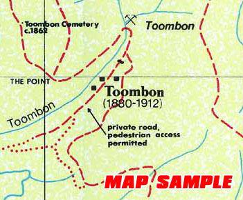
- Symbols- Conventional symbols are used so they are easily recognisable where referral to a legend is not necessary to analyse the map.
- Scale- The scale of the map allows all features such as tracks, mines, boundaries, etc. to be shown where previously not possible on smaller scale maps. Therefore map readers are able to get a true picture of the area.
- Elevation Points- Elevation points are positioned along tracks so walkers and off-road drivers are easily able to determine the grade of the track. High points of mountains are also shown to give readers an idea of the elevation of the area as a point of interest and to aid walkers walking off the beaten track.
- Tracks- Every track is shown including those overgrown. Overgrown tracks may be quite visible at the entrance but become undrivable after as little as 20 metres. Overgrown tracks are plotted for two major reasons: 1. Navigation 2. To allow complete overgrowth
- Mines- Mines give an added interest to the area. After all, it was the gold that gave birth to the ghost towns of these areas and are therefore an important factor in Victoria's history. Many mine enthusiasts, historians, gold seekers and relic seekers love the Adventurer Map for this reason.
- Creeks- The majority of creeks shown are simply run-offs where water channels down the slope of the mountain. These help drivers estimate the condition of a track and the shape of the terrain. They also provide a navigational tool for mine enthusiasts walking off the beaten track.
- Clearings- The smallest of clearings and disused quarries are even shown which helps travellers get an idea of their exact location along a track.
- Historical information- Locations of the 1800's hotel sites, properties, townships, etc are also shown which interests travellers to these areas. A brief paragraph on the area is presented on the cover of the map.
- The Grid- Grid co-ordinates are shown only, and a note of the datum used is noted to assist those people using grid references, computations or global positioning systems for navigation. The variation between grid north and magnetic north is also shown for orienteering purposes.
- Map Sheet- The size of the map sheet is designed so that navigating while on the move is easy.
- General Information- All information on the areas mapped are up to date. Information such as seasonal closures of tracks, private/leased properties, government regulations etc is noted. Additional notes such as extreme conditions of tracks, numerous mine shafts and old logging areas are also noted.
Maps by Adventurer Maps - Rudi Paoletti


